 On May 25th, 2010, I recieved my placement! We're off to Kure (pronounced koo-ray) in the Hiroshima prefecture!
Kure is a large and prosperous city-run region on the Seto Inland Sea in Hiroshima Prefecture. Over 216,000 people live in Kure which makes it the third largest city in Hiroshima Prefecture. Kure is composed of many amalgamated towns and cities of which Kure City is the largest and original city.
 The area around Kure City is extremely mountainous and any flat land is utilized for buildings, farms or someone's parking spot. Kure is most famous for being the location where the Yamato, the largest battleship ever, was built. Today, Kure City is a major international supplier of large cargo ships. Kure City's most famous product besides ships these days is the sake made by Sempuku. This locally produced rice wine is sold throughout Japan. Sempuku's main factory is located off Hondori Street in the northern part of the city. (Not far from our apartment!)
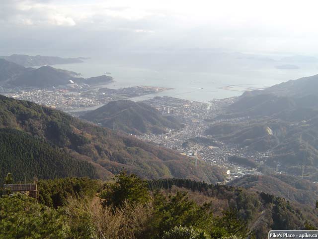
Hagamine Mountain is the tallest of the mountains which enclose Kure City. It is a popular hiking destination for people living in Kure City. There is a paved road to the observation platform at the top as well. It is no longer the tallest mountain in Kure since Kawajiri (with Mount Noro) was amalgamated in 2003.
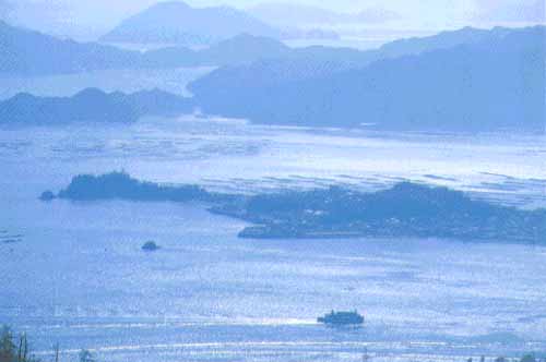
(Right: Kure city, as seen looking east from Mt.Hagamine, towards Mt. Noro)
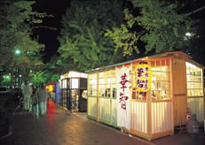 The street in front of City Hall is occupied every evening by a row of fourteen yatai food stalls accompanied by lit red lanterns. These stalls serve ramen noodles, oden, Italian dishes, and Southeast Asian cuisine and are popular among the younger diners.
(Left: Yatai-dori in Kure)
Niko Gorge is northwest of central Kure and on the way from Kure to Yakeyama. It is bit far but can easily found by walking past the baseball stadium and up the left side of the river you come to. The park there is considered the best place in Kure to view cherry blossoms. There is also a hiking trail up the gorge.
The red spiral bridge to Ondo on Kurahashi Island south of Kure City is
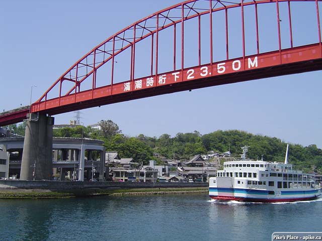 a famous
 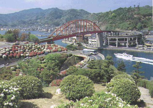 throughout the Hiroshima region. During Golden Week, there is almost as many people coming to look at the flowers planted in the spirals as there are people wanting to cross the bridge. Buses to Ondo regularly leave from Kure Station.
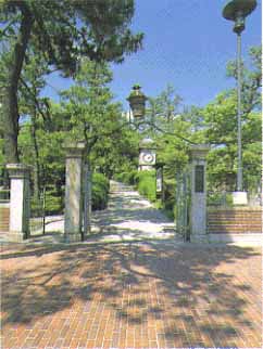 Irifuneyama still preserves a view of natural woods, although it is located in the city center. It is the site of the Memorial Museum, which was the official residence of the Commander-in-Chief of the Kure Naval Base. A lot of material related to the former Japanese Navy is preserved and exhibited in the museum. A clock tower of the former Naval Arsenal, the Kure City Memorial Museum, and the Ancient Document Museum may also be visited in the Park. (Left:Irifuneyama Park & Kure City Art Museum)
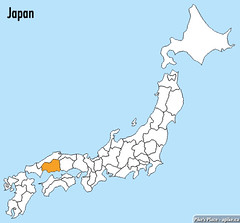
Hiroshima prefecture in Japan. As you can see, we're quite south...
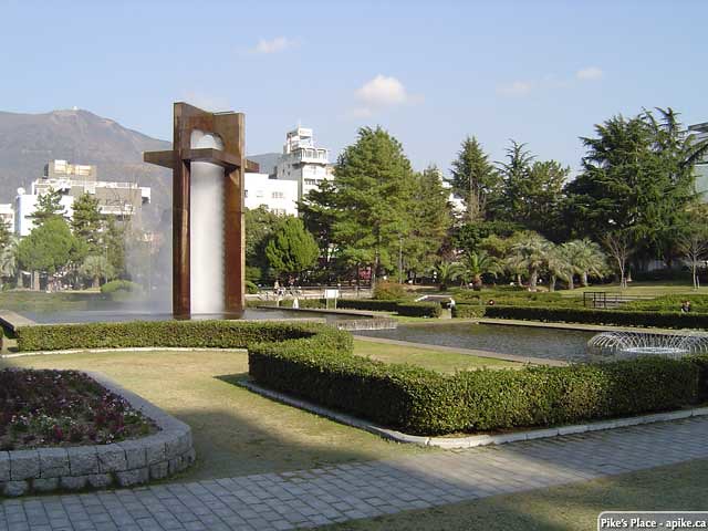
This central park in Kure. In the northeast corner is the city hall and to the west is Kure's Deo Deo.
Deo Deo is one of the largest consumer electronics retailer chains in Hiroshima. This is about maybe 5-7 minute walk away from our apartment.
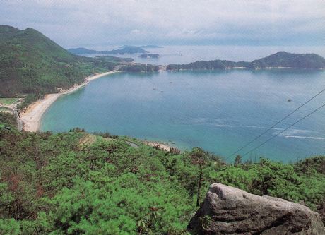 To the left is Kenmin no Hama and
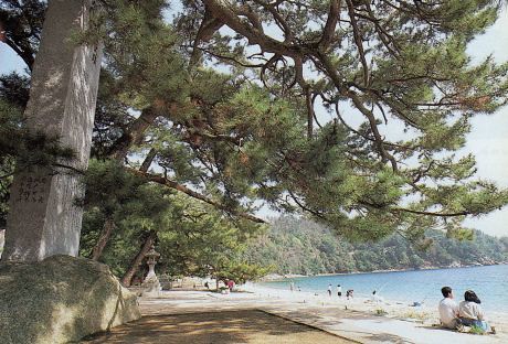
Koi Wan. Citizens beach and
Lover's bay it's called. To the right is Katsuragahama Beach.
I plan to visit both of these places often!
Thank you everyone for tuning into this very long post! I hope I've helped you picture what Kure city will be like. I'll post more pictures and links when I find them. Stay tuned!
(information courtesy of Wikipedia and various websites...)
No comments:
Post a Comment